
Keeping Everyone in the Loop
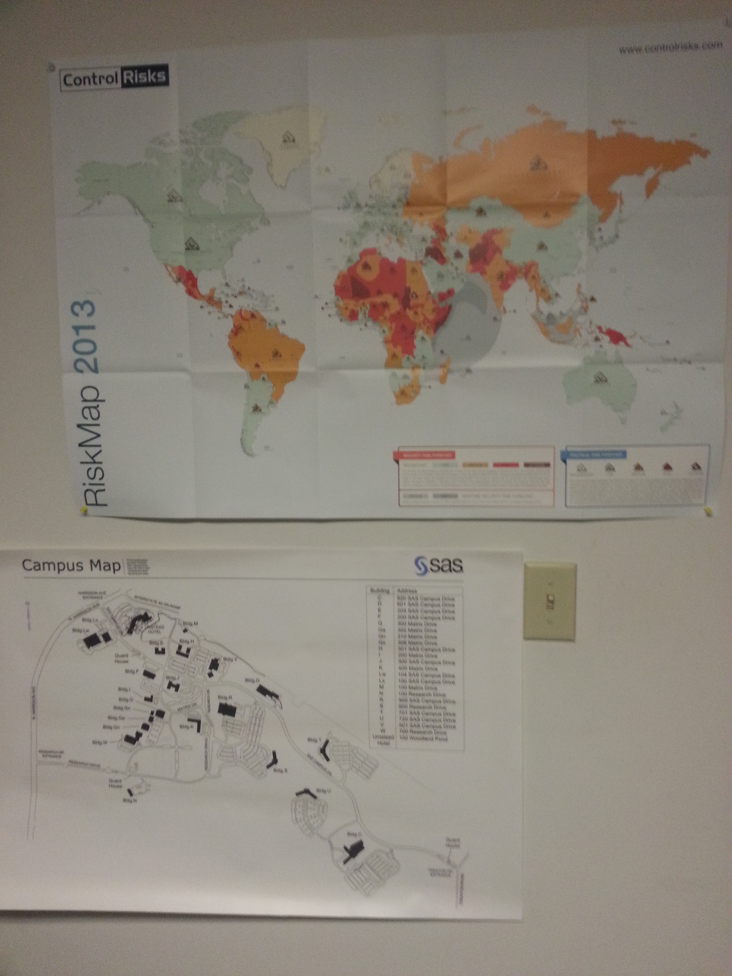
Lately, my colleagues and I have had countless discussions regarding the use of GIS and map technology to aid SAS Security & Safety’s efforts at monitoring global threats and, subsequently, communicating with employees to keep them informed during emergency situations. As an undergraduate student of geography (and, generally, a lover of maps), I’ve enjoyed time spent researching these matters and incorporating some of this knowledge.
On a personal level, and as any resident of Chapel Hill can verify in the wake of recent flooding events, I’ve witnessed firsthand the power of precise emergency notification and location services during emergency notification and ensuing response. Notably, these efforts have been aided, in part, by a Federal government partnership with cellular phone service providers to push out early notification for weather and other emergencies impacting local jurisdictions. As such, I can count on two hands the number of weather-related warnings received via my mobile phone in the lead up to recent inclement weather and flooding that has affected most of the Triangle.
Much like the mass notification and emergency notification systems administered by the University, the Town of Chapel Hill, or Wake County government, just to list a few, SAS also has the ability to deliver mass notifications to its employees to inform them of weather events, traffic concerns, and other emergencies on a local and global scale.
During my time here, I have learned how to build an effective communication scheme around emergency communication. A successful approach includes taking the following into consideration: (1) the culture of the organization; (2) the extent of the technology solution involved; and (3) ensuring comprehensive coverage extending to all employees. The issue of comprehensive coverage (e.g., ensuring every employee—locally or globally—is in contact) has been the most challenging thus far. Given the dispersed nature of the SAS workforce and the SAS footprint in over 120 countries, it is inherently difficult to communicate with the more than 10,000 SAS employees. Nonetheless, my intention is to contribute to this effort and help improve SAS’ ability to reach all of its employees with the hope that when an emergent situation arises, and emergency notification is required, not a single employee is left out of the loop.
